
Arabia Mountain in fall offers a different kind of Georgia day trip: broad gray rock, woodland walks, and room to slow down outside Atlanta. You can spend the morning exploring the preserve, pause for a snack, and still keep the afternoon free. The key is to choose a route that fits your group and treat the fragile rock habitat with care.
This guide focuses on Davidson-Arabia Mountain Nature Preserve. Use it to plan a relaxed visit, then check the official map and conditions before leaving home. The five custom Mhageer images are AI-generated illustrations, not photographs, current foliage reports, or exact representations of the trails.
Arabia Mountain in fall: the essentials
- Admission: access to the preserve trails and parking is free.
- Hours: dawn to dusk.
- Nature center parking: 3787 Klondike Road.
- Mountain-base parking: 4158 Klondike Road, near AWARE.
- Dogs: keep them on a leash and out of the rock pools and plant patches.
The Arabia Mountain Heritage Area directions page lists the access points. Decide which trail you want before choosing your parking lot. That small step helps avoid starting farther from your intended route than you expected.
Why plan a fall visit?
The appeal is the contrast between open rock and the surrounding woods. Build your outing around that change of scenery rather than a race to a viewpoint. Walk slowly across permitted bare rock, then choose a woodland route if your group wants more time outside.
Autumn color depends on the weather and the trees along your route. A particular date cannot guarantee bright leaves. Instead, choose a comfortable forecast and enjoy whatever the landscape offers that day. A clear morning can be just as rewarding as a day with strong color.

Choose a trail before you arrive
Download the official preserve trail map before your trip. The preserve includes rock routes, forest paths, and connections to the paved Arabia Mountain PATH. These are different walking experiences, so do not assume that every route has the same surface or grade.
For an open-rock outing, look at the Mountain Top Trail and its marked access connections. For a woodland walk, consider the Forest Trail. The official map lists the Forest Trail as 1.1 miles, but that is a named trail distance, not a promise that your full outing will be a 1.1-mile loop. Your parking point, connections, and return route affect the total.
The Mountain View Trail offers a longer option around the mountain base and lake. However, take time to review its terrain before committing. A short route that everyone enjoys is a better plan than adding miles after your group is already tired.
If you prefer pavement, explore the Arabia Mountain PATH. It is a separate, connected trail network with hills. A paved route does not make the mountain’s rock trails accessible, and it does not guarantee a flat walk.
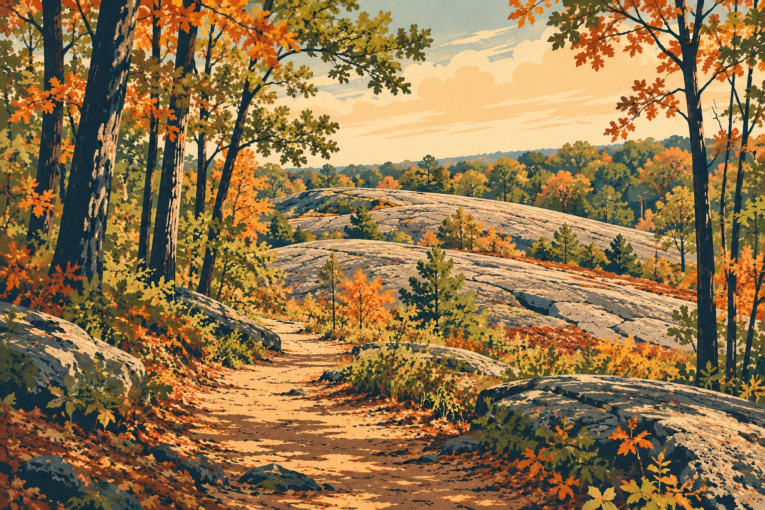
A relaxed Arabia Mountain fall itinerary
Start with one main walk. Arrive with a route selected and a backup option. Weekend parking can be busy, so allow some flexibility. Read the signs at the access point and check your map before setting out.
Leave time to look around. Pause on durable surfaces for views and photographs. Keep the walking pace comfortable for the youngest or least experienced person in your group. There is no need to cover every trail in one visit.
Take a snack break. Bring something simple and pack out every wrapper. After the break, decide whether to add a woodland section or return to the car. Make that decision while everyone still has enough energy for the walk back.
Keep the rest of the day flexible. This works well as the outdoor part of a half-day outing. Travel time depends on your starting point and traffic, so check directions rather than relying on a fixed drive time from Atlanta.
Protect the tiny habitats on the rock
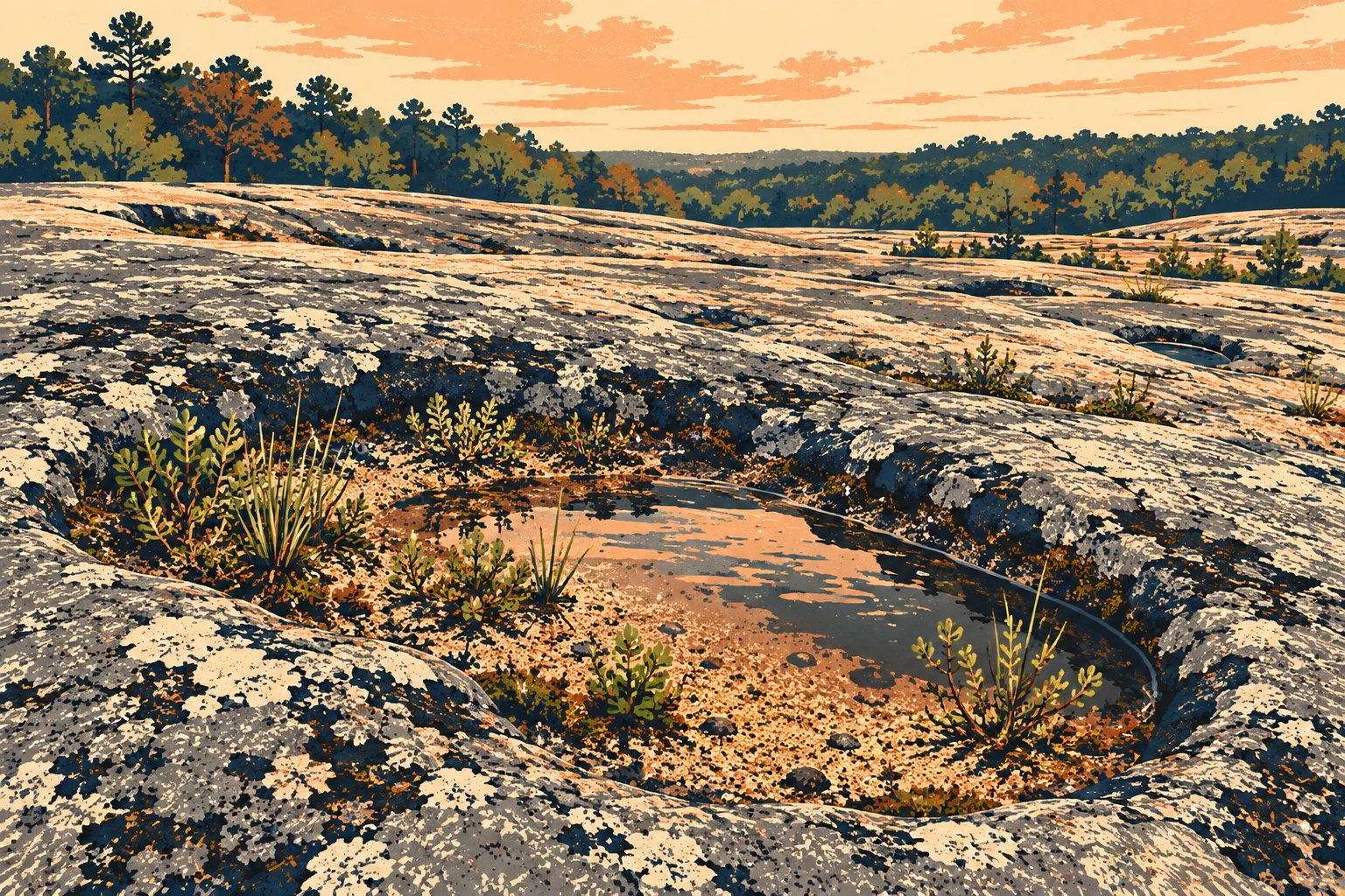
Some of the most important features here are easy to overlook. Shallow depressions can hold water, sand, and plants. Even a dry patch may support fragile life. Keep feet, paws, and bags out of these areas.
The preserve’s Rules of the Rock give a useful reminder: stay on the gray. Follow the marked route across bare gray rock, and leave wet pools and sandy pockets alone. Do not step into a plant patch to get a better photograph.
What to bring
- Walking shoes with grip for uneven surfaces.
- Water for each person and any dog joining you.
- A hat, sun protection, and a light layer suited to the forecast.
- A downloaded trail map and a charged phone.
- A simple snack and a bag for your litter.
Check the weather before heading out. Exposed rock gives you less shelter than a wooded trail, and wet surfaces call for extra care. If conditions do not suit your group, shorten the route or choose another day.

Is it a good family day trip?
It can be, especially when you keep the plan short and flexible. Adults should choose the route based on their children’s walking ability and supervise them near uneven ground. Explain the plant protection rules before the walk, then turn spotting tiny habitats into an observation activity from a safe distance.
For more outdoor ideas, explore our Georgia and Atlanta hiking guide. You can also compare this outing with Sweetwater Creek State Park, or find another stop in our Atlanta and North Georgia hidden gems.
Planning details checked October 6, 2026. Check official notices before visiting. Illustrations do not show live conditions.